Building date:
Original use:
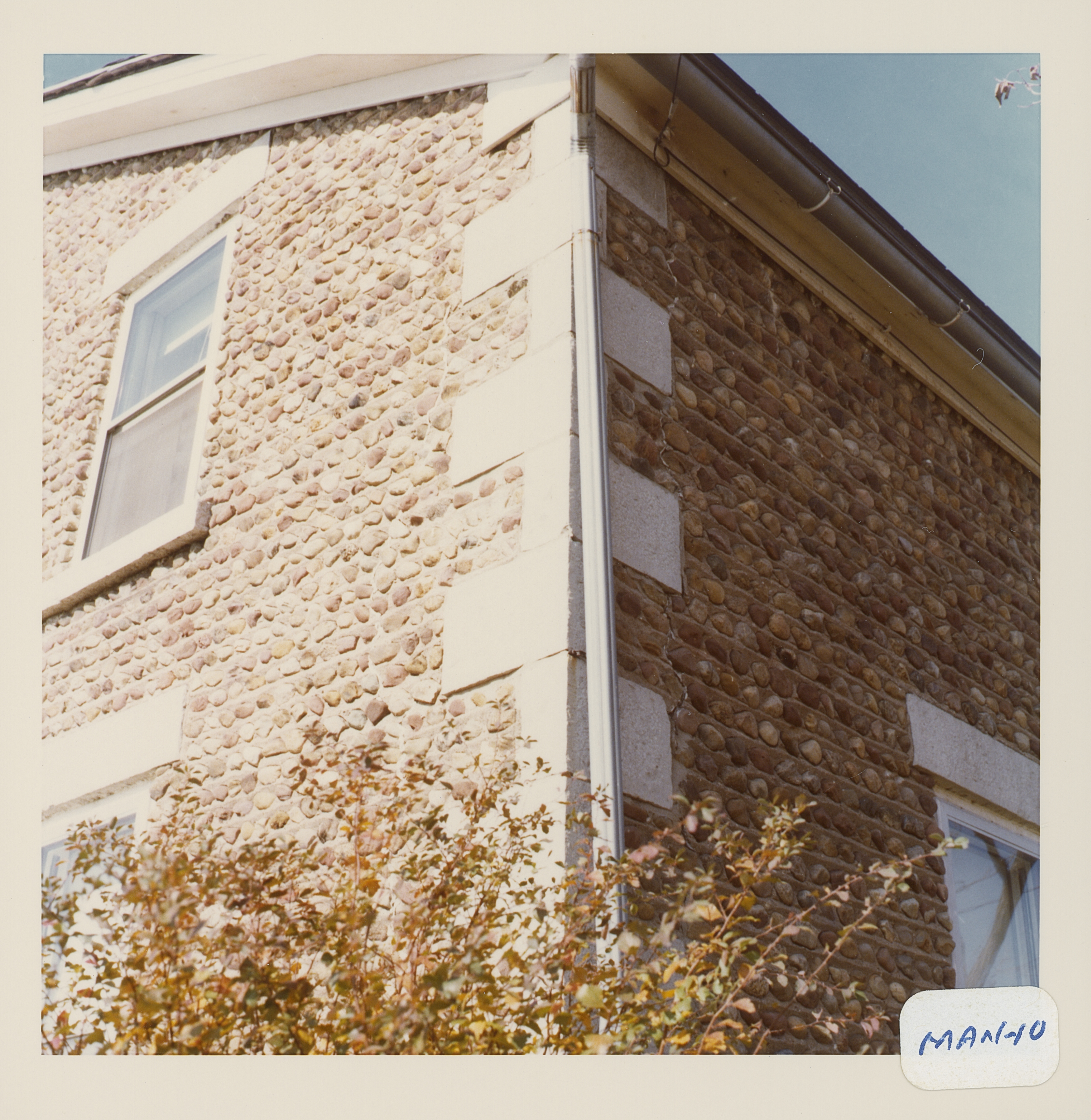
Corner structures:
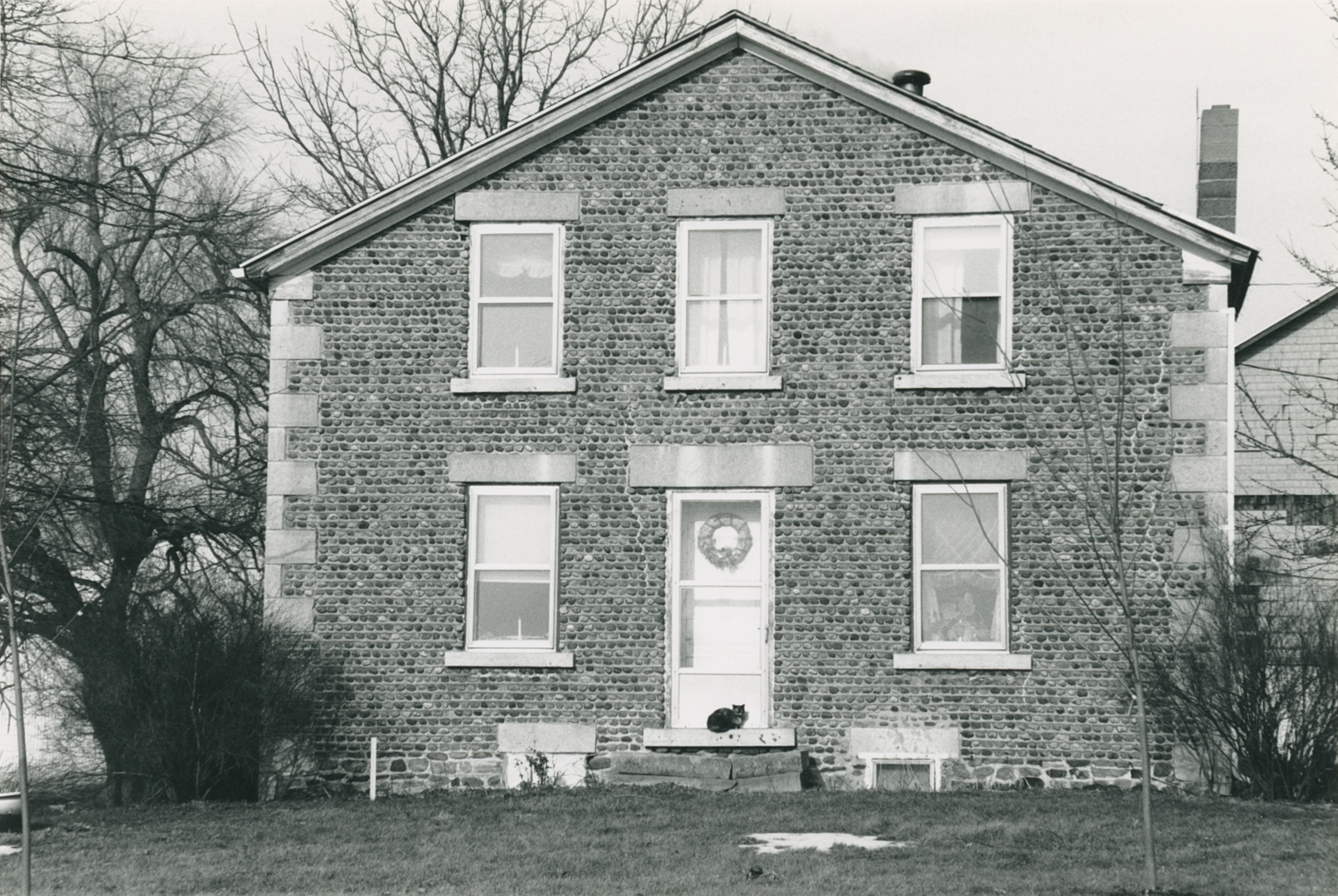
Mortar application and content: Vertical heavy. Vertical pyramids.
Types and uses of stones: Small red. Irregular rough.
Types and choice of windows:
Structures with similar masonry details: Man-1 Unknown
Masons who worked on building:
Unique features:
Map views courtesy Google Maps. Address is Google Earth confirmed; 43°01'28.48"N 77°11'50.67"W. Current owner of record, Gladstone as of the 2019 Tax Roll.
Town of Manchester and Ontario County Maps
The Roudabush Survey states the address to be 110 Armington Rd.; however, current tax rolls show the current address to be 3608 Armington Rd.
- "Cobblestone Masonry", 1966, Carl Schmidt: Name reference, Beale - DeMay House
- Page 98
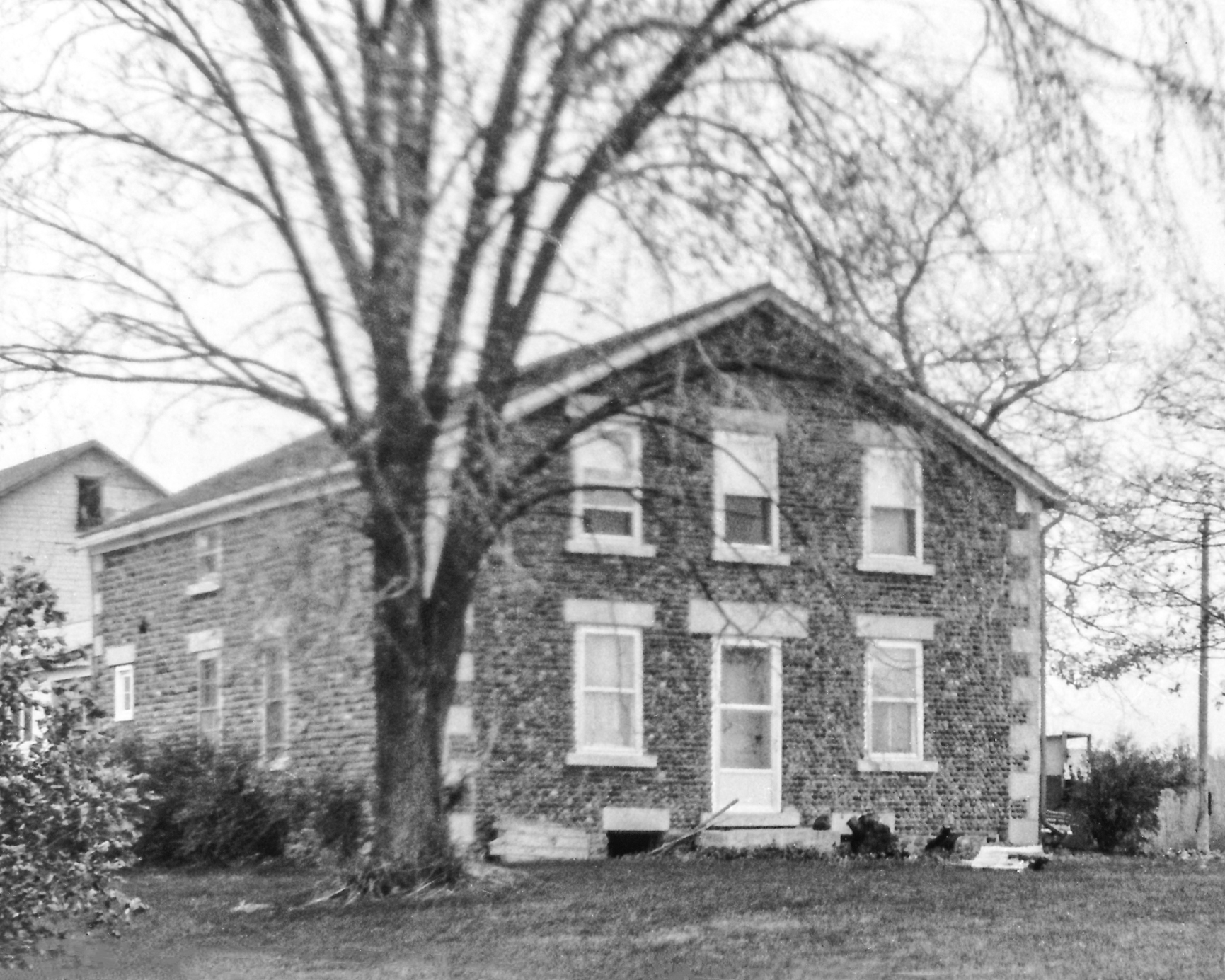 Man-10 DeMay 1.jpg ¹ November 1969. Photograph by Clyde Maffin, Ontario County Historian 1968-81. | 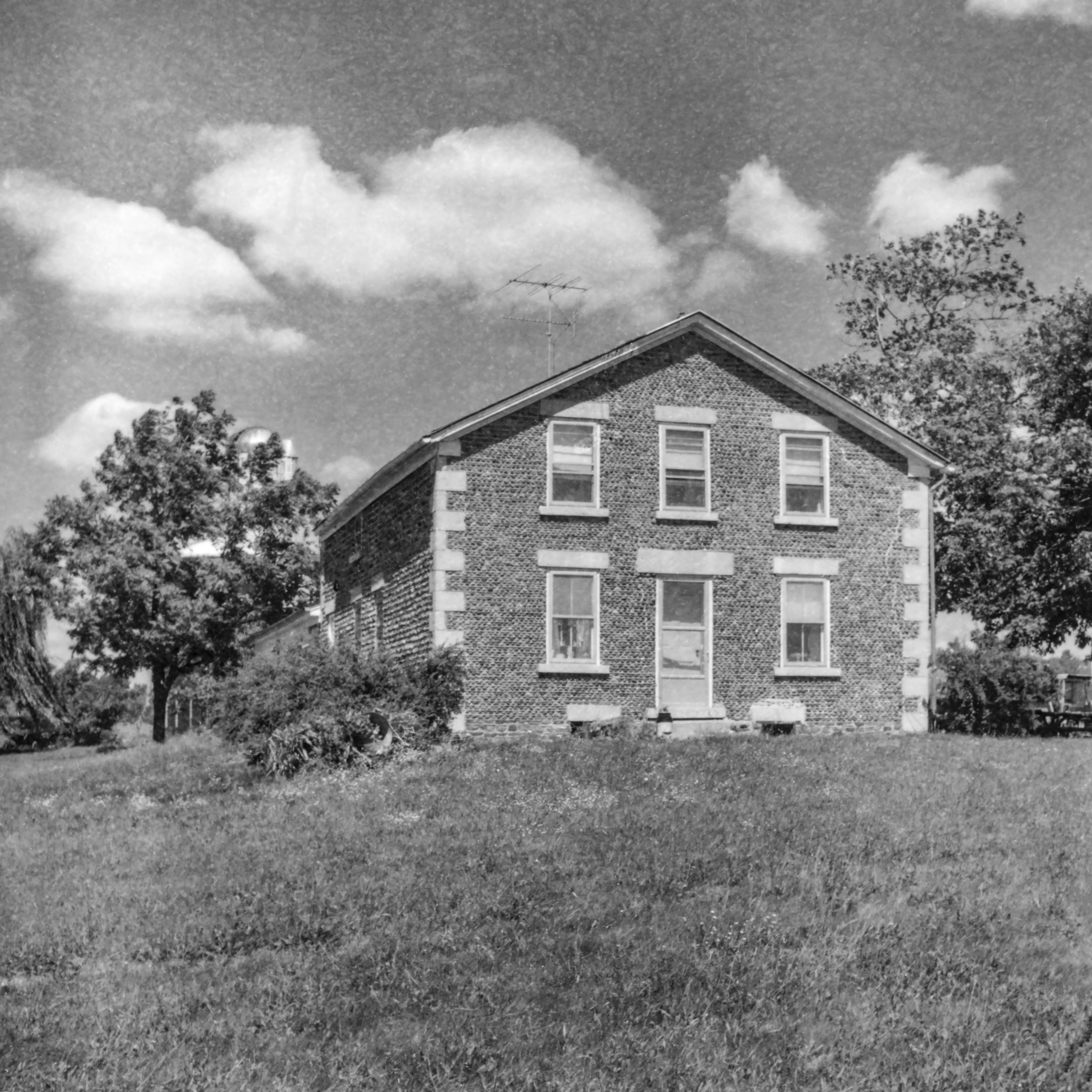 GP Ontario Manchester Man-10 1-1 P.jpg ² 8/24/1971 | 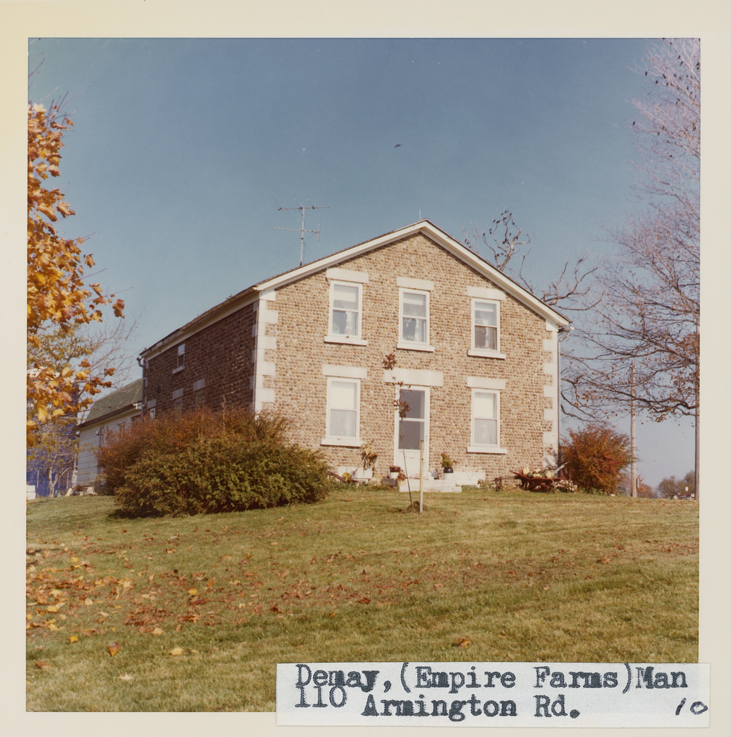 Man_10_1.jpg | 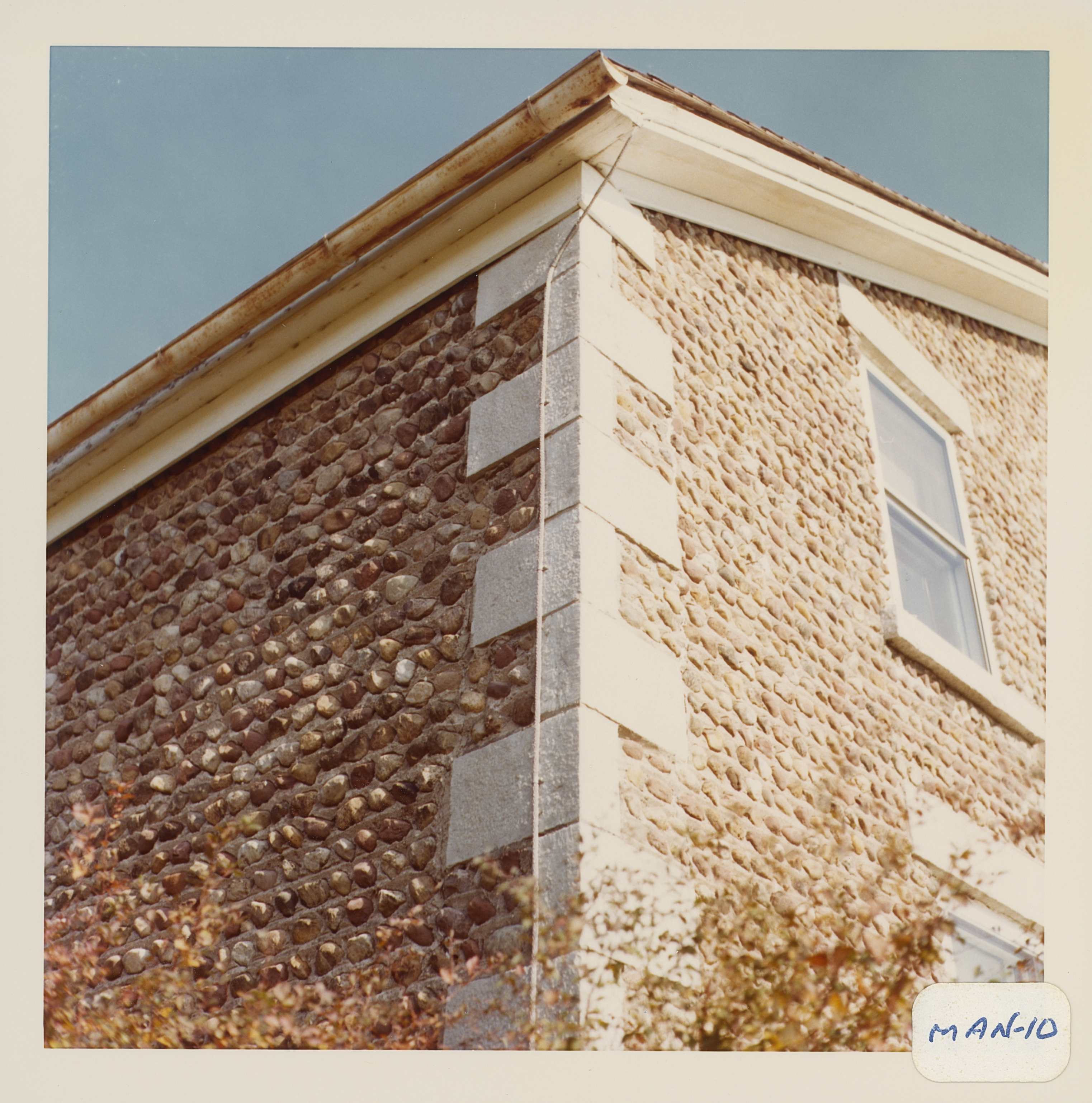 Man_10_2.jpg |
 Man_10_3.jpg | 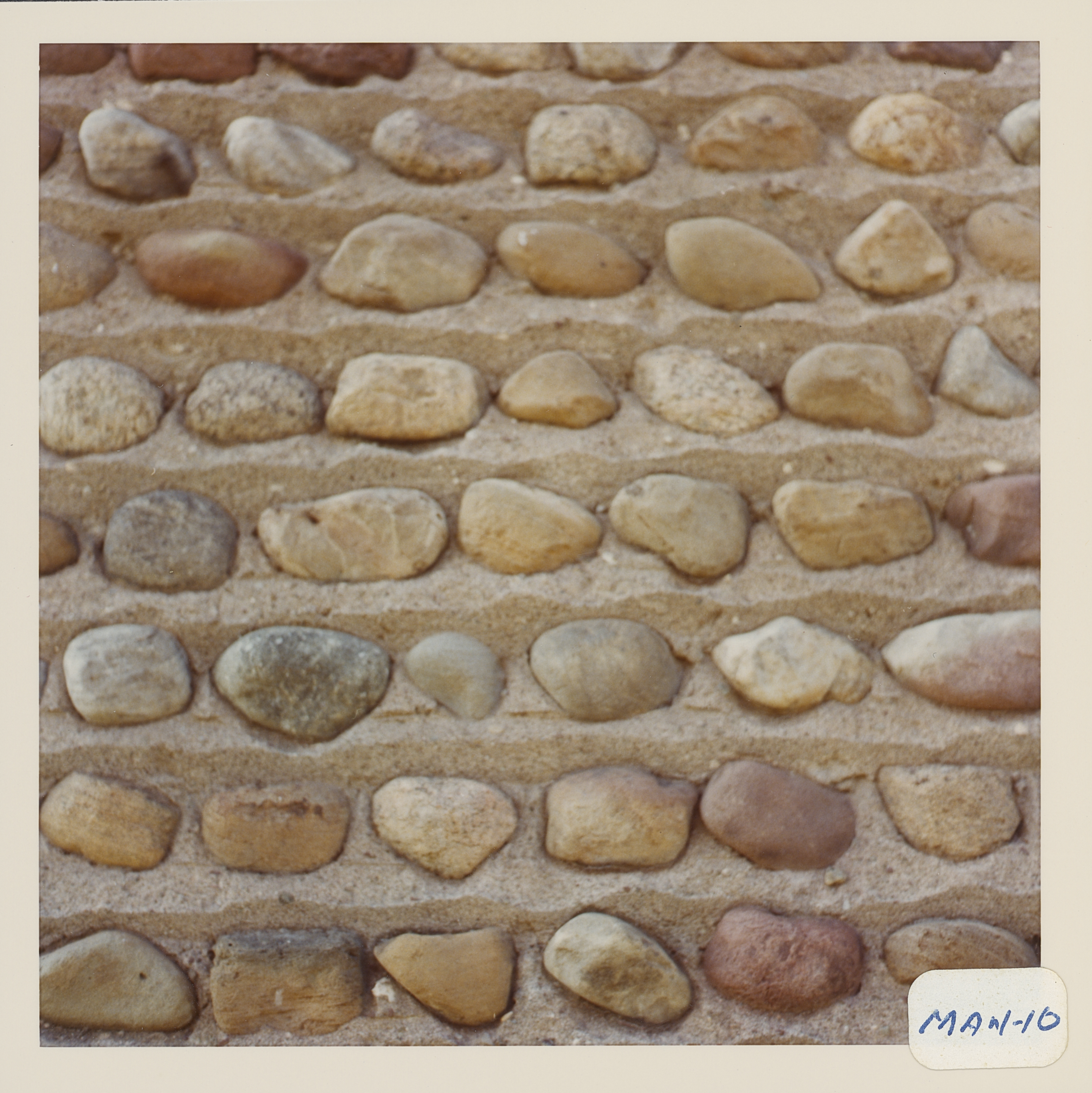 Man_10_4.jpg | 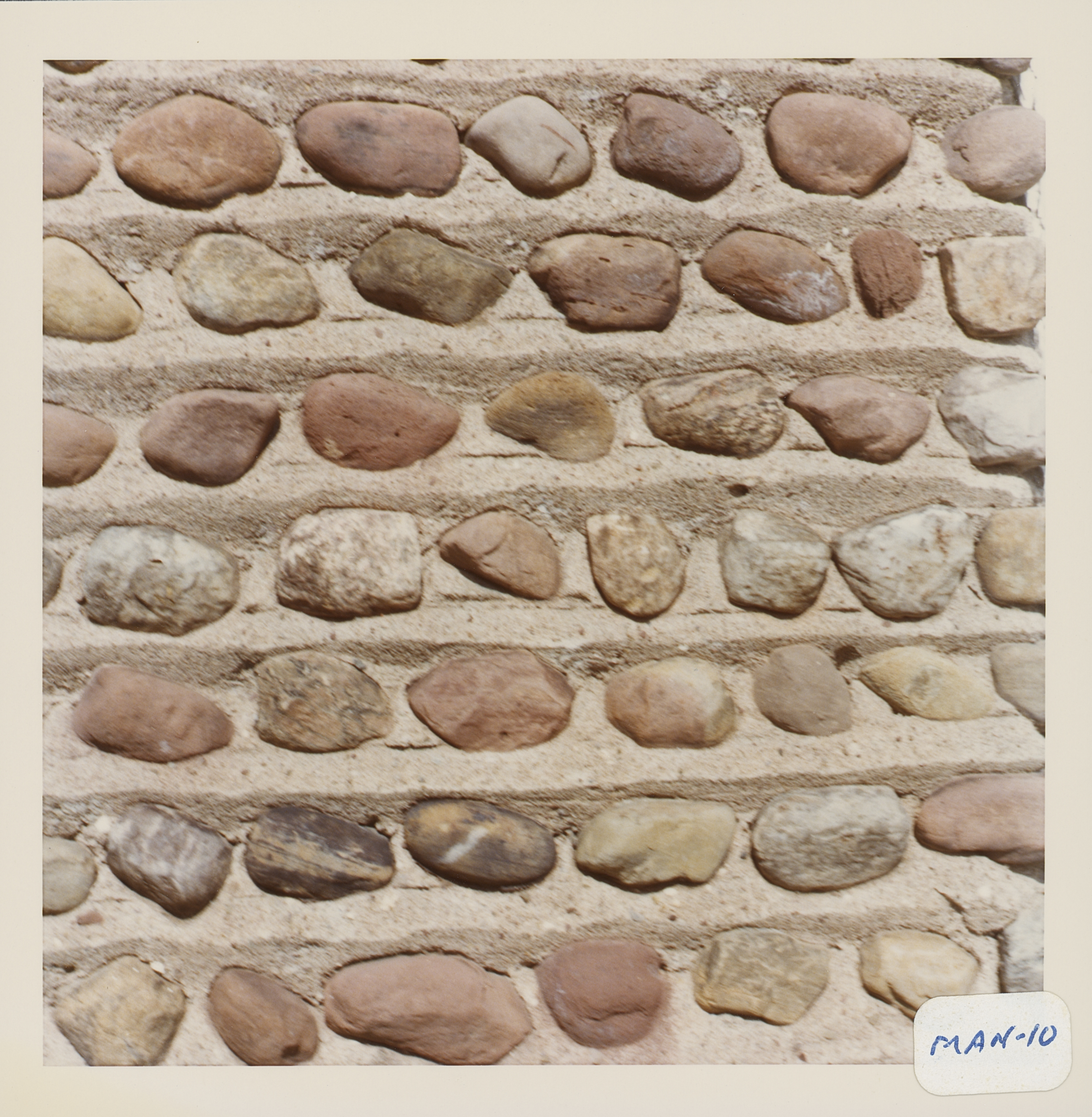 Man_10_5.jpg | 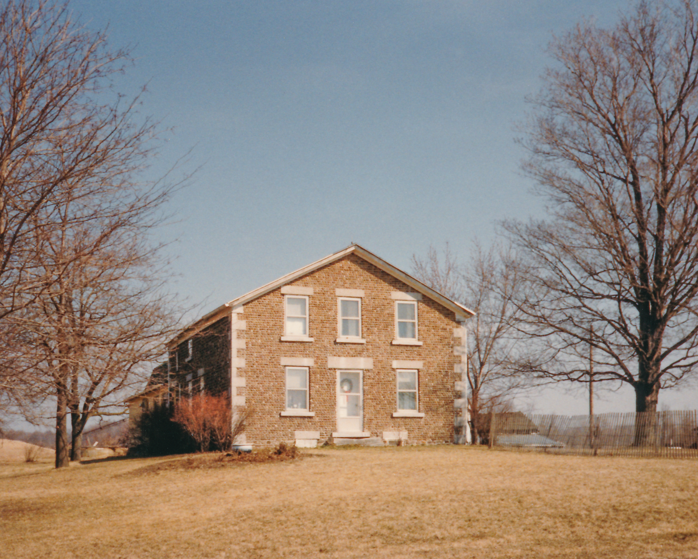 Man-10 DeMay 2.jpg ¹ |
 Man-10 3608 Armington Rd 1.jpg ³ | 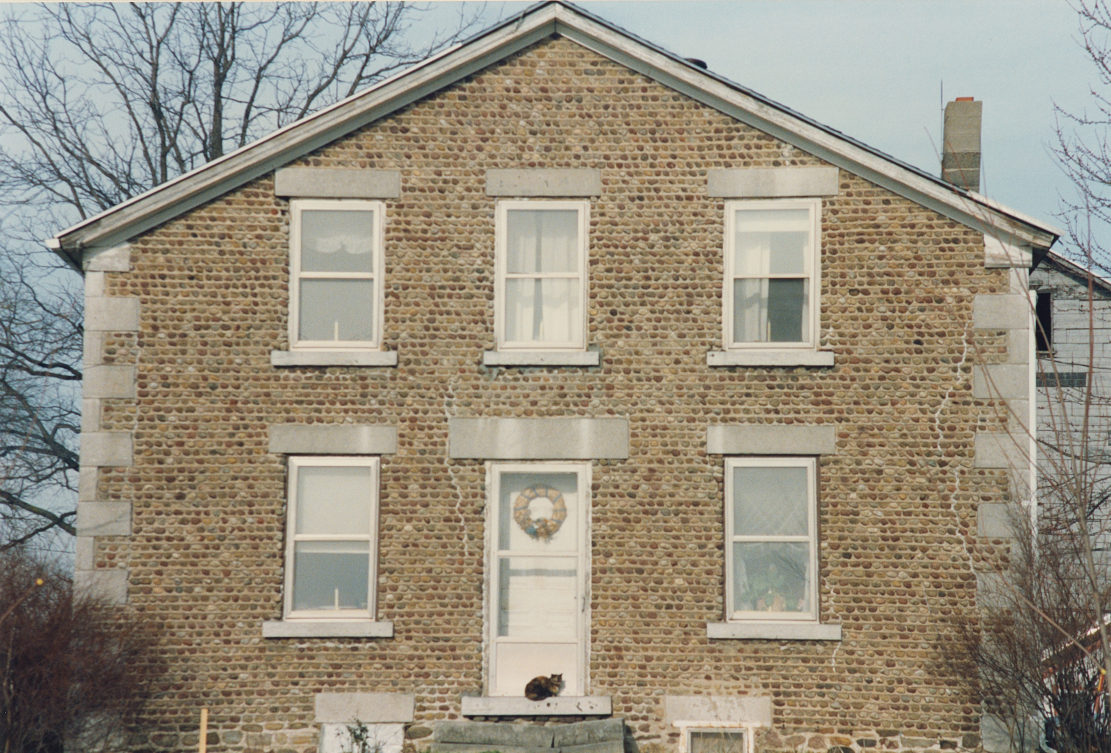 Man-10 3608 Armington Rd 2.jpg ³ | 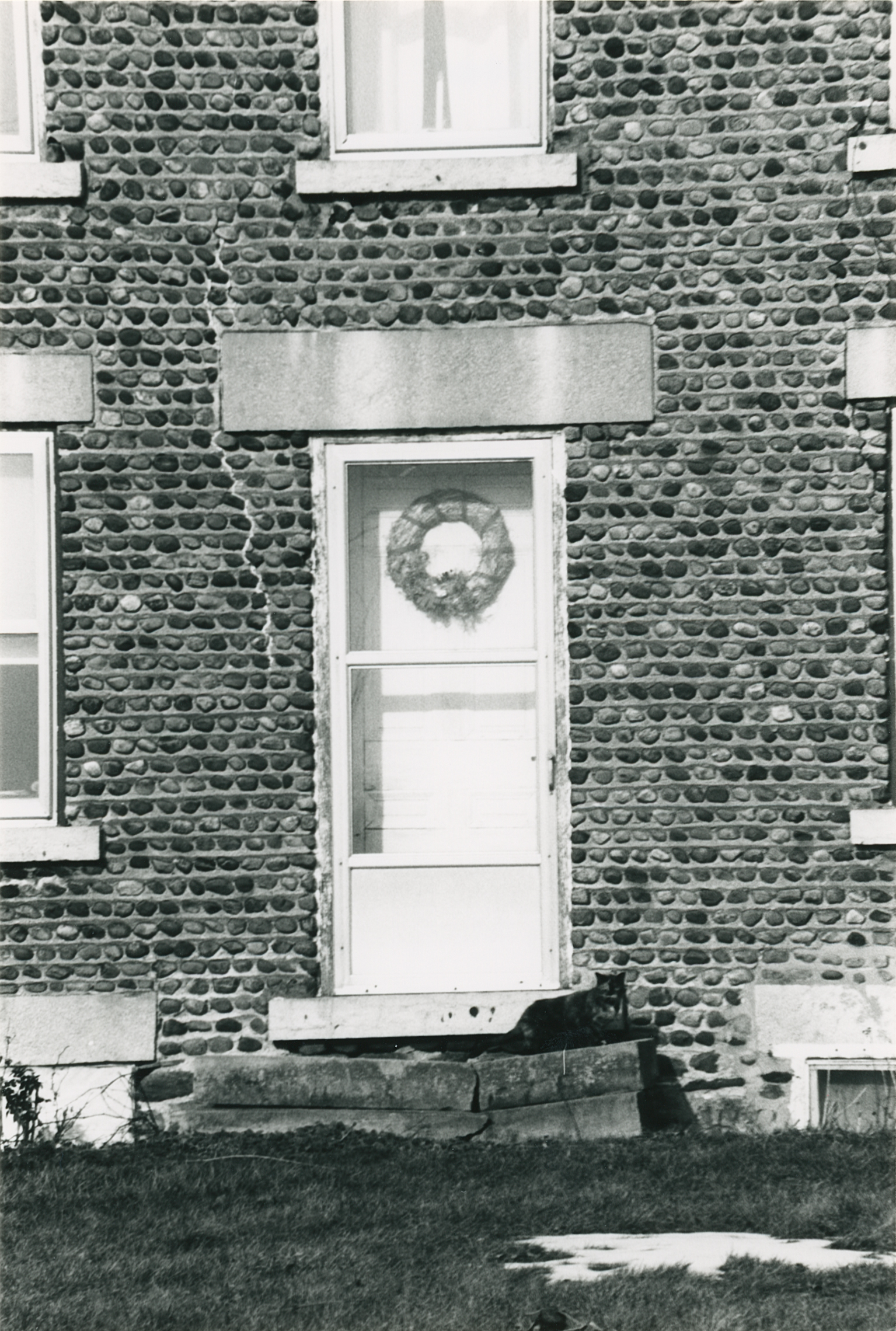 Man-10 3608 Armington Rd 3.jpg ³ | 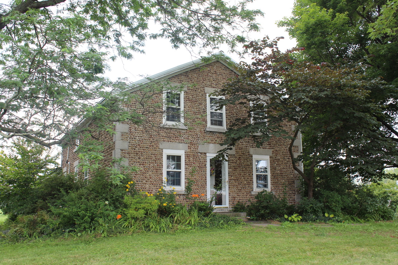 IMG_3864.jpg ² AUG 2019 |
¹ Image courtesy Cobblestone Museum.
² Photography courtesy Gerda Peterich. Cobblestone Museum.
³ Photography courtesy Martin and Sheila Wolfish.
4 Photography courtesy Richard Palmer.
